Cotswold Way: Chipping Campden to Bath
About this trip.
Comparing firms? Every Cotswold Way holiday on Mooch, side by side.
Before you book: Walking holidays vs cycling holidays — when each one is the right answer · Which Camino route is right for you — an honest opinion on each of the seven
Chipping Campden to Bath in six days
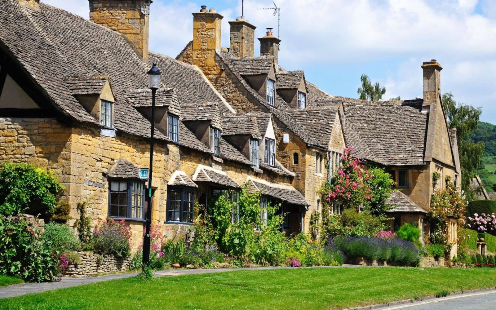
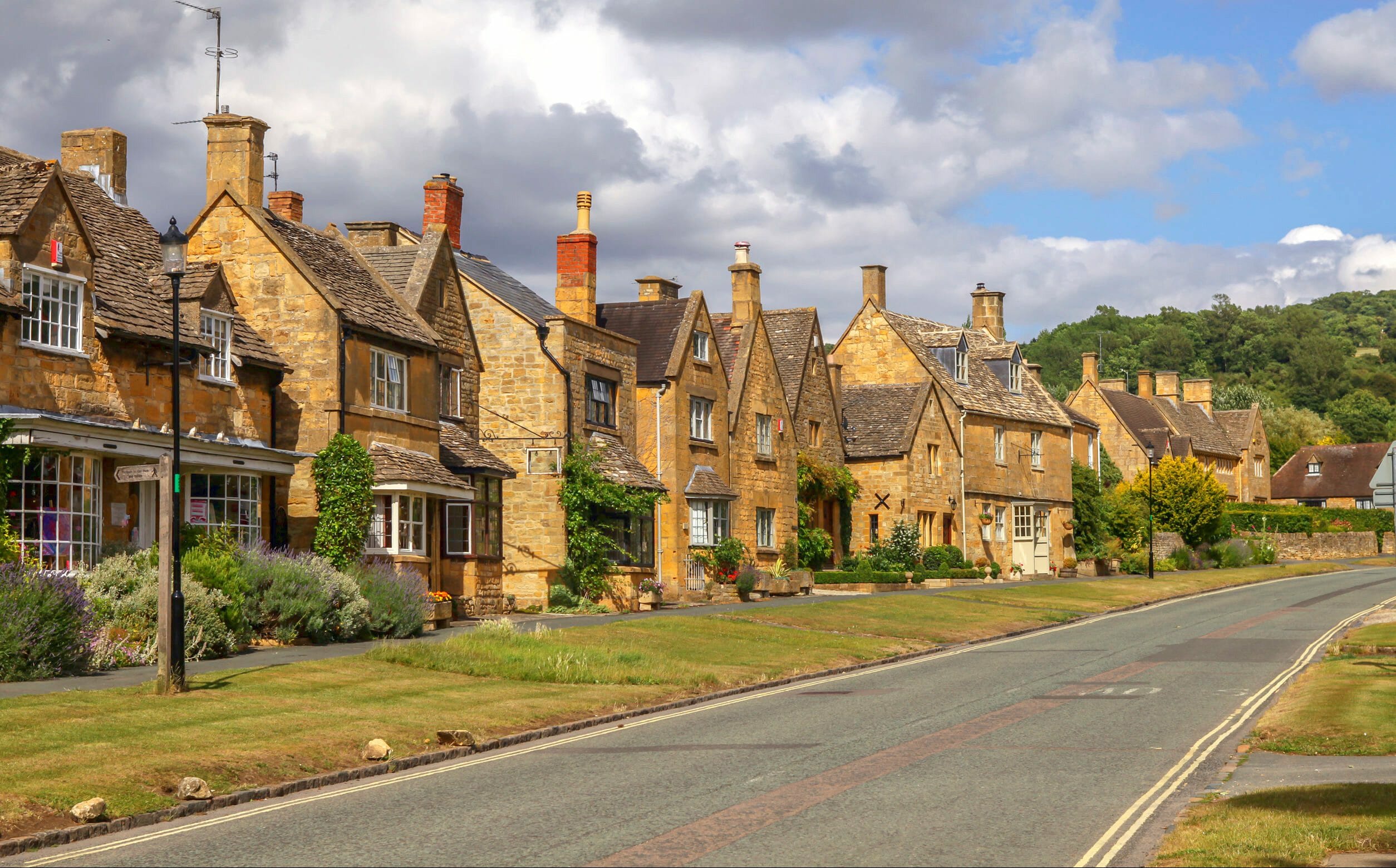
The Cotswold Way starts at the Town Hall in the centre of Chipping Campden and ends at the Roman Baths in Bath. Covering the whole trail in six days suits experienced hikers. On the longer days there's less time for sightseeing, but the trail is a rewarding long-distance route through varied and interesting landscapes. It's a National Trail, clearly waymarked along its whole length.
From Chipping Campden the route climbs gradually to Dover's Hill (230m/755ft), with views over the Vale of Evesham. It then goes on to Broadway Tower, which at 312m (1025ft) is the second-highest point on the trail. After dropping into Broadway, the path climbs again to Shenberrow Hill and then descends into the village of Stanton. Next it crosses meadows to the hamlet of Church Stanway and climbs back to the top of the escarpment at Stumps Cross. For a while it follows an ancient drove road to Beckbury Camp, an Iron Age hill fort, and then descends to Winchcombe.
Along the escarpment to Painswick
Beyond Winchcombe the route skirts the edge of Cleeve Common, the highest point of the trail at 330m (1083ft). In bad weather, or if you're short of time, you can take a short cut over the Common that saves about 4 miles. The path then follows the western edge of the escarpment, with views down to Cheltenham and across the Vale of Gloucester. It drops to Dowdeswell reservoir and follows the scarp past Severn Springs and Leckhampton Hill to Crickley Hill. From there it crosses a combe through woodland to Cooper's Hill, then passes through more woods above Prinknash Abbey to Painswick Beacon. A steady descent leads to the old market town of Painswick. It's about halfway along the route, and many walkers spend an extra night here.
South through Dursley and Wotton to Bath
From Painswick the trail crosses open countryside to Scottsquar Hill and goes on through woodland to Haresfield Beacon. It then passes between Stroud and Stonehouse and crosses the Stroudwater Canal into King's Stanley. A steep path climbs to Pen Hill, and beech woods lead to the Nympsfield Long Barrow and the views from Coaley Peak on Frocester Hill. After many ups and downs through the woods, the path reaches the small market town of Dursley. It then climbs steeply to Nibley Knoll and the Tyndale Monument, and later descends into the old wool town of Wotton-under-Edge.
After a steep climb out of Wotton, easier walking leads through rolling countryside to Little Sodbury. The path then crosses the parkland of Dodington House to Tormarton and continues across farmland to Dyrham Park and the hamlet of Pennsylvania. It climbs gradually to the top of Lansdown Hill and follows the escarpment to Prospect Stile, which looks down over Bath, before descending into the city.
Terrain, paths and weather
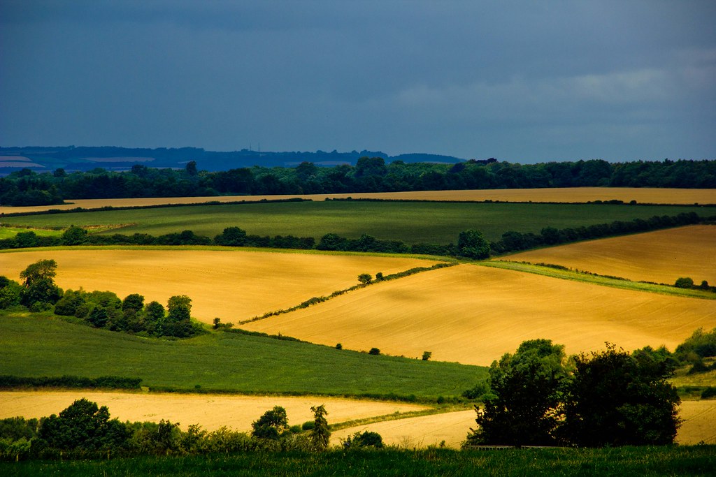
These are gentle wolds rather than mountains. In the north the path rises onto the Cotswold Escarpment and drops off it again. Further south it's lower but still undulating, over farmland and through woods. The route goes up and down a lot, with some short, steeper sections. Climbs and descents are usually 150–200m (495–660ft). The paths are well maintained and well signposted, though some sections get muddy in wet weather. The weather can change quickly, so bring comfortable footwear and reliable waterproofs.
The shape of the trip.
Everything you might be wondering.
Q1How hard is it really?
The grading is set by the operator and usually reflects daily distance and total ascent. As a rule of thumb: if you can comfortably manage a 5-6 hour hillwalk at home on a weekend, a moderate-graded route will be fine. Read the day-by-day notes carefully, and train with a loaded pack in the months before.
Q2Can I do this solo?
Yes — self-guided walking holidays are well suited to solo travellers, and some operators waive the single-room supplement on certain departures. The route notes are written for confident independent walkers, and most operators run a 24/7 support line.
Q3Do I need to speak the language?
No. Hotels and restaurants on the route are used to English-speaking walkers. A phrasebook for menus and a few polite basics (hello, thank you, please) is all you really need. The operator's support line speaks English.
Q4Can I bring my dog?
Some routes are dog-friendly, others aren't — it depends on whether all the accommodation on the itinerary accepts dogs. Check with the operator before booking. If you do bring a dog, you'll need a pet passport, up-to-date rabies vaccination, and a lead for villages.
Q5What if it rains?
The route is walkable in rain — your luggage travels ahead regardless, so you'll always arrive somewhere dry. Some trails get slippery in wet weather and the operator's support line can arrange a taxi for any stage if conditions are properly bad.
Q6How do I get there from the UK?
Most routes are reachable by a short flight to a nearby airport, followed by train or transfer. The operator will usually point you at the nearest airport and can advise on rail connections. Some will book train tickets on your behalf for a small fee.
Q7Can I shorten or extend it?
Usually yes. Many operators offer shorter versions of a route as a standalone, and most will add extra nights at the start or end at their own rates. Ask when you enquire — they'll tailor it before booking.
Q8What about cancellation?
Typically a deposit (usually 20-25%) is taken at booking, with the balance due 8-10 weeks before departure. The operator's own terms apply — Mooch doesn't handle the booking or refunds. Travel insurance is strongly recommended.
Three walking holidays, side-by-side.
The two closest walking holidays on Mooch, both on the Cotswold Way. Prices are the operators' own, per person.